
Water and reflections in Canmore
🏘️ Local guide📅 Updated October 19, 2026⏱ 2 min read
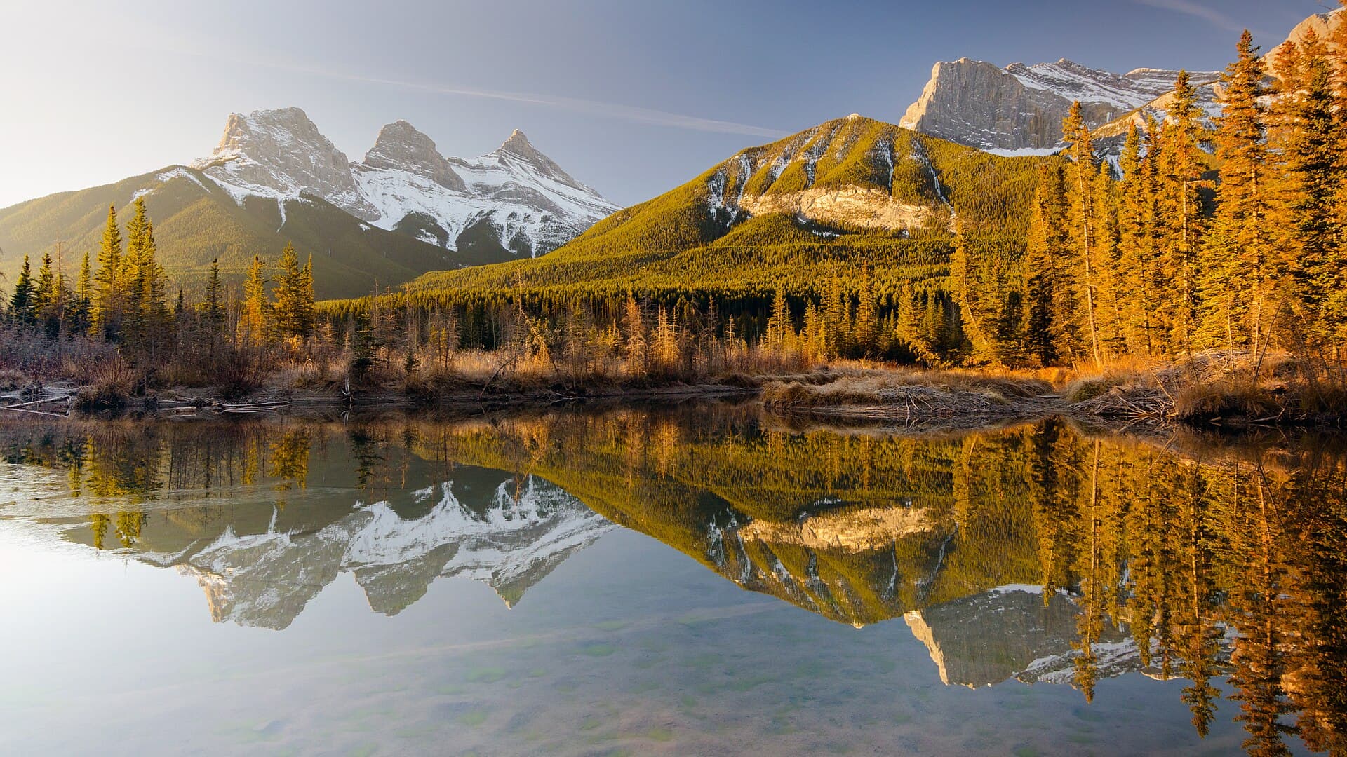
Cover: The Three Sisters from Policeman's Creek. Photo: Jakub Fryš, CC BY-SA 4.0, via Wikimedia Commons.
Half a day following Canmore's water: a creek through wetlands, the Bow River, a lake that used to be a mine and a reservoir below Ha Ling. The first two stops are on foot from downtown; for the other two you need a car, a bike or the bus. It's an easy-going plan, good for families and for photos of the mountains reflected in the water.
The route
Leave Main Street on the Policeman's Creek Boardwalk Trail, flat boardwalks that follow the creek through forest and ponds, with views of the Three Sisters and Mount Rundle. It's great for birdwatching. The longer out-and-back is about 4.2 km (unofficial figure), and the Town of Canmore's short loop is 1.24 km. There are no washrooms on the trail, and the west entrance has stairs.
Then walk to the Bow River, at the edge of downtown. Riverside Park has benches, tables and a view of Mount Rundle, on the Engine Bridge loop. It's a good picnic spot, with public washrooms and paid parking.
Now head up to Quarry Lake, on Spray Lakes Road (Highway 742). It was an open-pit coal mine until the 1970s; today it has a 1.25 km loop around the lake, washrooms and an off-leash dog park. If you're brave, the water is cold. The only nearby public parking is paid; Roam bus Route 12, free and seasonal, runs here from downtown.
Continue on Spray Lakes Road to Rundle Forebay, a reservoir before the Canmore Nordic Centre. From the shore you can see Ha Ling and the Little Sister, and it's popular for stand up paddling and kayaking. A nice place to finish in the afternoon light.
Trails in this challenge (today's status)
Mark each stop with ✓ on its page to complete the challenge in your Hediny passport.
Official sources
Community experiences
User experiences, not official information. Always check the official status before you go.
No comments yet. Be the first.